


Further to the article posted on this site on 29th April, there is now just one day left to respond to this consultation.
Reponses must be submitted by close of play on Tuesday 4th June. “The Local Green Space designation was introduced by the National Planning Policy Framework (NPPF) in March 2012 which offers a high degree of protection to areas of importance to the local community. This is on the basis that the land meets certain criteria to achieve the designation.” (Para 1.4). “The Local Green Space designation was introduced by the National Planning Policy Framework (NPPF) in March 2012 which offers a high degree of protection to areas of importance to the local community. This is on the basis that the land meets certain criteria to achieve the designation.” (para.1.6).
Our comments may be summarised as follows:
- We believe that a total score of at least 13 out of the 25 available sets the bar too high. After all, “There has been no standard methodology produced by the Government against which the areas proposed to be designated as Local Green Space are assessed.” (Para. 2.1) If uniformly applied we would expect these sites, amongst others, to be vulnerable to exclusion:
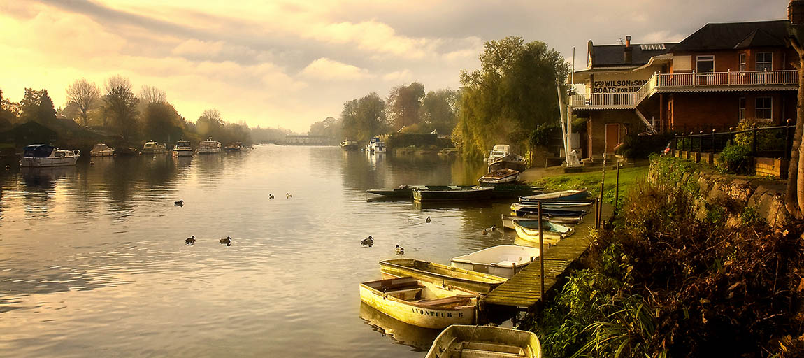
- Flower Pot Green
- Cedars Recreation Ground, Green Street
- Hawke Park (Former Line of Lower Sunbury Relief Road TP26)
- Belgrave Road/Batavia Road
- Lime Crescent
- Furthermore, the burden of proof is on local residents to evidence “observed wildlife” or “frequent” recreational use by the community in order to qualify for protection as a local green space. How is this evidence to be acquired?
- Para. 3.9 “The minimum threshold proposed is any area below 0.25 hectares (0.6 acres) would not be designated. This represents the size of an area which can accommodate approximately one residential unit.” We disagree with this assessment. 0.25 of a hectare would allow for up to 12 residential units.
